 RSS Subscribe
El Nino vs polar vortex? Which will dominate this winter? – Richard Mills
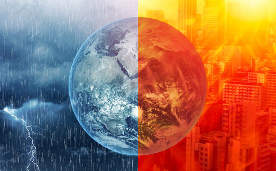
Remembrance Day ceremonies are known for their cold, blustery weather, with veterans often seen huddled in wheelchairs clutching blankets and wearing toques and mittens, or raincoats.
This year was different.
A lingering fall
Here in British Columbia, Remembrance Day (Veterans Day in the US) saw several record-breaking temperatures including Lillooet and Salmon Arm which were the warmest in over 100 years.
According to Environment Canada, it was 20 degrees Celsius in Lillooet on Nov. 11, and 15.8 in Salmon Arm, beating the previous records of 19.4 C in 1917, and 14.4 C in 1921, respectively.
The warm air came from an atmospheric river that brought back-to-back windstorms and rainstorms to the province, but many were thinking it had to do with El Nino.
CFJC Today reports Record temperatures are being set across B.C., Canada and around the globe more frequently as climatologists are sounding the alarms over a potentially historic El Nino this winter.
The Weather Network forecasts a mild fall across much of Canada will prolong the season and delay winter’s arrival.
Last week, the network reported October was the world’s warmest on record, explaining that a powerful El Nino and continuing global warming pushed average global temperatures to unprecedented levels.
The intensifying 2026-27 “Super El Nino” is projected by the World Meteorological Organization (WMO) and the National Oceanic and Atmospheric Administration (NOAA) to be one of the most destructive climate events in 50 years.
El Ninos generally happen every two to seven years and last between nine and 12 months. The second year of an El Niño is often warmer than the first.
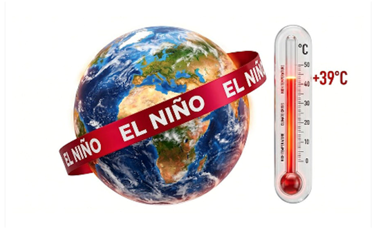
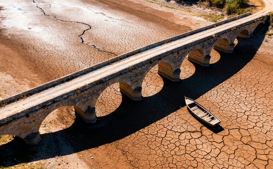
A lingering El Nino is likely to mean a drying trend in places accustomed to rainfall and vice versa, with implications for agriculture, energy and metals.
Super El Nino and metals — Richard Mllls
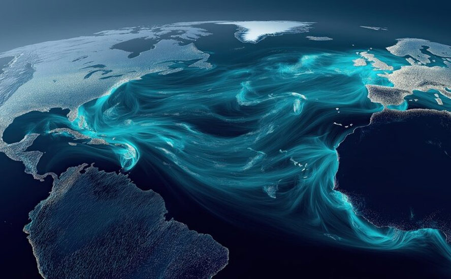
How does El Nino impact global temperatures? According to the NOAA, it raises heat stored in the Pacific Ocean into the atmosphere, temporarily increasing the Earth’s average temperature on top of long‑term climate warming.
El Ninos mainly influences weather in the colder months. During an El Nino winter in the United States, for example, the southern third typically experiences wetter-than-average conditions, while the northern third sees enhanced chances of below-normal precipitation.
They also cause intense rains and droughts across Latin America.
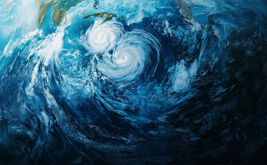
El Ninos usually reduce the number of hurricanes in the Atlantic Ocean, particularly the Caribbean. Conversely, El Nino years are typically associated with more activity in the eastern Pacific.
In mid-June, forecasters from the NOAA officially declared that an El Nino was underway. It is set to peak at the end of the year.
A Super El Nino occurs when sea surface temperatures reach at least 3.6F (2C) above the long-term average.
A Super El Nino cometh: Get ready for drought, heat, fires — Richard Mills
WMO forecasts a near-100% likelihood that El Nino will persist through February 2027 and could be the strongest ever, raising risks of extreme weather into next year. Only three very strong or Super El Ninos have been recorded since 1950. The last Super El Nino occurred in 2015-16.
Sample Pacific Ocean temperatures in this year’s El Nino are already more than 2 degrees Celsius above normal, said the WMO via Reuters. It adds that 2027 has the potential to exceed 2024’s record-breaking heat.
“Normally after an El Nino event we tend to see a pulse in the global temperatures — a temporary one,” Wilfran Moufouma Okia, the WMO’s chief of climate prediction services, told reporters.
But hold on a minute.
While a strong El Nino is bringing a mild fall, it doesn’t necessarily mean that the winter will stay warm. The reason is due to the polar vortex.
Polar vortex
The polar vortex is a seasonal atmospheric phenomenon whereby high winds swirl around an extremely cold pocket of Arctic (or Antarctic) air. The winds are like a barrier that contains cold air, but when the vortex weakens, the frigid air “escapes” from the vortex and travels south, bringing with it a freezing cold blast of Arctic weather.
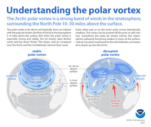
It may sound counterintuitive, but the weakening of the polar vortex is actually due to warming happening in the stratosphere, about 30 km above the North Pole. Called Sudden Stratospheric Warming, this meteorological event breaks down the area of low pressure and cold air surrounding the pole, allowing cold air to spill out into the midwestern/ eastern US, and parts of western/ central Canada, and for the warmer air to hang over the Arctic.
How does global warming affect the polar vortex? The answer is warming oceans. As more ice melts during the summer, the Arctic Ocean heats up. The effect is less pronounced in Antarctica because it’s a landform not a polar ice cap. That heat gets radiated back to the atmosphere in winter, which reduces the intensity of the northern polar vortex winds. The polar vortex gets disrupted, allowing cold air in the center of the swirling cyclone above the pole to migrate south. According to Scientific American, in years when a lot of Arctic sea ice disappeared, the vortex was more likely to weaken.
Along with escaping cold Arctic air that flows into parts of the Northern Hemisphere, a distorted polar vortex also warms polar regions.
In fact, the poles are warming faster than anywhere else on the planet. Canada, where the Arctic makes up 40% of its land mass, is warming at a rate twice as fast as the rest of the world – and will continue to do so.
This is the phenomenon of the “wavering jet stream”. The polar jet stream crosses the North Atlantic from west to east and determines the paths of weather systems. As the Arctic warms, it causes the jet stream to become weaker and wavier, allowing cold polar air to reach further south and warm air to stretch north. This makes weather systems linger in the same locations for longer, such as the 2019 summer hot spell that baked Europe, and the cold snap that froze the eastern and midwestern United States the same year.
Meteorologists use something called the Arctic Oscillation (AO) index to gauge the extent to which blobs of cold air are held above the Arctic or meander south. A positive AO indicated cold air trapped in the Arctic, where it belongs, versus a negative AO whereby the cold escapes and moves south.
The breakdown of the polar vortex and wavering jet stream theory are a good defense of global warming against critics who claim that exceedingly cold winters in certain cities are proof that climate change is not real; in fact, these events are just another manifestation of our warming and changing climate.
Early polar vortex breakdown
This year the breakdown of the polar vortex came sooner than expected. On Nov. 12 CNN reported,
For the past few weeks, the polar vortex has been weakening. Right now, the air in the stratosphere is warming dramatically in a phenomenon known as a “major sudden stratospheric warming” event, where the polar vortex’s winds reverse. In the days and weeks after this happens, Arctic air can spill south into the Northern Hemisphere, loading the dice in favor of cold air outbreaks.
“This year is exceptionally unique,” said Andrea Lopez Lang, a meteorologist at the University of Wisconsin-Madison. Major stratospheric warming events typically occur between January and March, with the previous earliest event happening on November 28 in both 1968 and 2025.
The winds reversal resulted in a Nor’easter that slammed the US East coast, bringing rain, thunderstorms, hail and even a tornado warning in Queen’s, New York.
On the other side of the continent, giant 10- to 15-meter waves crashed onto the California coast. According to the Weather Network,
San Francisco’s U.S. National Weather Service (NWS) office warned on Saturday that waves were capable of reaching 12+ metres (40+ feet) along fully exposed beaches in portions of northern California.
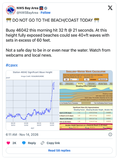
Rough surf surging ashore brought flooding to some areas, reportedly damaging numerous homes, businesses, and vehicles near the coastline.
A historic El Nino in the eastern Pacific threatens to make coastal flooding a recurring theme up and down the California coast through this winter.
Sea-level rise due to both climate change and El Nino could lead to a highly impactful storm surge in portions of the Bay Area if strong systems push ashore. This flooding could potentially submerge several major highways and airports in a worst-case scenario, according to a study conducted by UC Davis.
How could an early split in the polar vortex affect weather in Canada?
Global New meteorologist Anthony Farnell said that while much of Canada typically experiences a milder winter in El Nino years, “the disruption of the polar vortex could favor some very cold air for much of December.”
“Some of our computer models are now starting to bring in some snow and some colder air at the end of November and early December so I think there’s going to be a lot of back and forth coming,” he said.
No scientific consensus
Scientists are divided over what is causing the polar vortex disruption and how its effects could play out when and where.
One school of thought says El Nino may be playing a role, but that if it’s disrupting the polar vortex it doesn’t necessarily mean it will bring extreme cold, especially if the disruption happens early in the season before the Arctic cold has had a chance to build.
Andrea Lopez Lang, a meteorologist at the University of Wisconsin-Madison, told CNN that El Niño is the “big bully pushing the atmosphere in a certain direction.” She thinks its impact will be “so overwhelming” that while we may see some cold air, it’s unlikely to be anything outside of what would be expected during a typical winter season.
Amy Butler, a research physicist at NOAA’s Chemical Sciences Laboratory, echoes this. “The feature that stands out to me over the next month, is the higher chance of warm temperatures over the northern half of the US, likely related to El Niño,” she said.
The opposing view holds that the polar vortex is the more important weather-making phenomenon to watch. Also, the continuing impact of global warming cannot be discounted.
One thing is for sure, says CNN: This unique winter will give scientists the chance to see whether El Niño is taking charge of the weather or whether the polar vortex can still flex its considerable muscle.
Richard (Rick) Mills
aheadoftheherd.com

Legal Notice / Disclaimer
Ahead of the Herd newsletter, aheadoftheherd.com, hereafter known as AOTH.Please read the entire Disclaimer carefully before you use this website or read the newsletter. If you do not agree to all the AOTH/Richard Mills Disclaimer, do not access/read this website/newsletter/article, or any of its pages. By reading/using this AOTH/Richard Mills website/newsletter/article, and whether you actually read this Disclaimer, you are deemed to have accepted it.